
Where are we now: Alexandrina’s current tree canopy cover
Besides the obvious benefits of providing us with oxygen and shade, township greening is one of the priority items identified by our A2040 Community Vision and its A2040 Strategic Delivery Plan 2025-35. Similarly, tree canopy coverage is a key indicator for not only the health of our environment but also the community.
Hence, Council needed to understand the existing canopy cover across our townships, so we know where to plant best.
To find out more about the study or see the results per township, see below.
Alexandrina's Tree Canopy Report
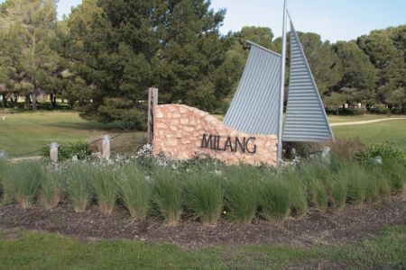
In March 2023, Council adopted the Tree Canopy Benchmark Study and Thermal Imaging Report (the “Tree Canopy Report”). This Study established the current canopy cover baseline for our townships, including identifying locations where tree canopy cover is lacking. It showed that the average current urban tree canopy cover across all townships was 17.6%, which is substantially lower than the average of 23.4% across Adelaide’s metropolitan councils. However, the percentage cover between each township varied significantly, from 11.7% in Milang to 49.3% in Ashbourne.
Much of Alexandrina’s canopy cover is located on private land with 78%. In comparison, Council managed land has 21% canopy cover, and 1% of trees are found on Crown Land. From this information it can be calculated that only 1% loss of canopy of privately owned land would require a 20% increase in canopy cover on Council managed land.
This is why we all need to work together if we want to keep and increase our tree canopy cover.
You can download the full Tree Canopy Report here.
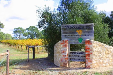
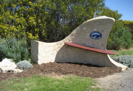
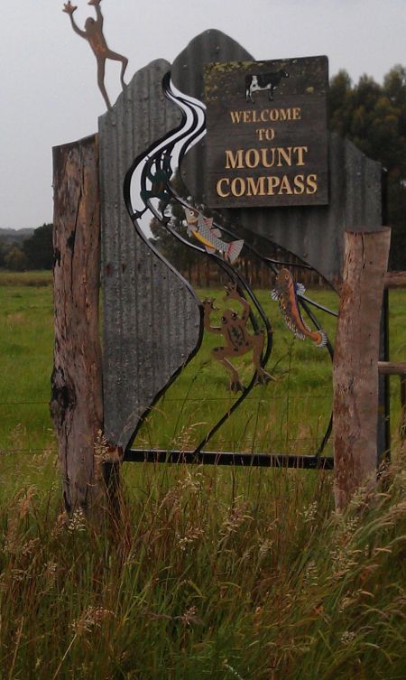
To find out the results for each township, click on the links for each township below:

The map below shows the townships that were assessed in the study.

Figure 2: Map showing the 11 townships assessed in the study (Source: Google Maps, accessed March 2023)